

How to Plan a Multi-Day Sailing Trip Step by Step
Quick Summary
To plan a multi-day sailing trip, first set your destination, crew and goals, then work out realistic daily distances. Use a conservative average speed and daylight limits, check weather and tides against written go/no-go rules, and plan anchorages, provisions and safety gear before departure.
Calculate each leg as distance divided by a conservative average speed, then add two to three hours for anchoring and rest.
Arrive at each night's stop at least one hour before sunset, and two hours before if you can.
Set wind and wave thresholds in writing before departure and treat any forecast crossing them as a no-go.
Keep at least one backup anchorage within reach for every overnight stop.
Make the first day no more than 60 percent of your longest planned day.
Table of Contents
Start With Your Destination, Crew and Trip Goals
Before you touch a chart, decide three things: where you want to go, who is coming, and what you want the trip to feel like. Every other planning decision flows from those answers. A honeymoon cruise along the Florida coast and a family trip with adult children need very different distances, anchorages and pacing.
Start with the destination. Choose a port or a loop that you can reach in a manageable number of days, then work backward. A round trip out of Fernandina Beach or Amelia Island can be easier to plan than a one-way passage, because you return to the same base.
Next, define your crew. Count the people aboard, note their sailing experience, and ask about seasickness and mobility. A group of experienced sailors can handle longer days than a mixed group of guests who have never been offshore. Write these answers down, because they set your daily limits.
Finally, define the goal. Is the trip about relaxation, wildlife, celebrating an anniversary, or covering ground? Trips built around relaxation need shorter passages and more time at anchor. Trips built around distance need earlier starts and tighter schedules.
Planning checklist for this stage:
Destination and round-trip or one-way route
Number of guests and their sailing experience
Known seasickness or mobility concerns
The one thing the trip must deliver
How Far to Sail in a Day: Setting Realistic Daily Distances
Daily distance is the number most new planners get wrong. Many people assume a boat moves at its top speed for the whole day, and that assumption produces itineraries that are impossible to keep. The fix is to turn your destination into realistic daily legs using three inputs: your boat's sustainable average speed, the daylight hours you are willing to use, and a contingency margin.
Start with a conservative average speed, not the boat's maximum. Plan on the speed you can sustain for hours at a time, then add buffer for wind shifts, tacking and slow stretches. A common planning approach is to subtract a margin from the boat's published cruising speed for real-world conditions.
Here is a worked example using an assumed sustainable average of 6 knots. If you want to cover 30 nautical miles, the sailing time is 30 ÷ 6 = 5 hours. Add 2 hours for anchoring and rest, and the leg is a 7-hour day. If you start at 9 a.m., you arrive at 4 p.m., well before dark. If the same boat tried 48 nautical miles, the sailing time alone would be 8 hours, and with the buffer the day becomes 10 hours, past dark for most crews and past the point where fatigue sets in. That leg should be split at an intermediate anchorage.
Use daylight as a hard constraint. Most planners aim to arrive at the night's stop at least one hour before sunset, and many prefer two. In summer at mid-latitudes you may have 14 hours of daylight; in spring and fall that drops to 11 or 12. A leg that is comfortable in July can be a night arrival in October.
Keep daily passages short enough that everyone aboard still enjoys the trip by late afternoon. A common mistake is scheduling the longest leg on the first day, when crew are least adjusted to the motion. Build up gradually and leave a lighter day in the middle of the trip as a cushion for weather.
Track your numbers on paper before you leave. Write each leg, its distance, your estimated average speed and the expected arrival time. If a leg runs past dark or past the point where crew are fatigued, split it at an intermediate anchorage. A simple route sheet with columns for leg, distance, speed, hours, departure and arrival makes the arithmetic visible and lets you adjust before you leave the dock.
Watch out: average speed on a multi-day trip is usually lower than on a day sail because of provisioning stops, sail changes and crew rest, so recalculate after the first leg rather than trusting the original estimate.
The worked example below uses the article's assumed average speed of 6 knots and shows how a leg's length changes the length of the day.
Planned distance | Sailing time at 6 knots | Day length with 2 h buffer |
30 nautical miles | 5 hours | 7 hours |
48 nautical miles | 8 hours | 10 hours, past dark |
Sailing Route Planning Tools and How to Use Them
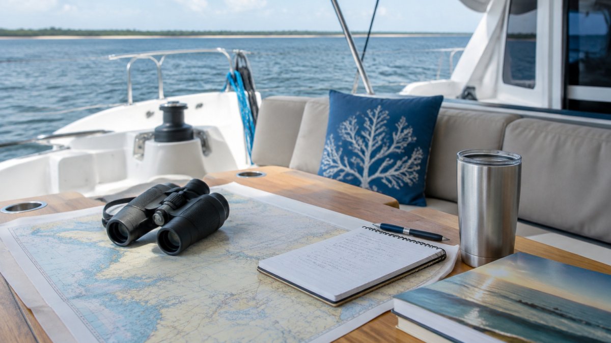
Route planning comes down to a few reliable tools used together. Paper charts or official electronic navigation charts show depths, hazards and channels. Waypoints mark the points where you will change course or stop. A planning tool lets you draw the route, measure each leg and check it against the charts.
Sailing Virgins
Use an electronic chart plotter or a navigation app to lay out the route, then confirm every leg against current official charts. Charts go out of date, and the depths and hazards you see on a screen may not match conditions. Mark each waypoint with a name, the expected time of arrival and a backup anchorage in case you need to change plans.
Keep a simple route sheet aboard with the legs, distances, waypoints, marina and anchorage phone numbers, and the nearest alternative stop for each leg. Print it, and keep a copy on the chart table in case electronics fail. Experienced planners treat the route sheet as the single source of truth for the trip. A route sheet is only as useful as the boat’s readiness, so include Pier 4 Marina in your seasonal preparations before relying on the plan for a Chesapeake Bay passage.
Checking Weather, Wind and Tides: Go/No-Go Rules
Weather decides whether a passage happens at all. Set your go/no-go rules before you leave the dock, not when conditions are already building. Check the marine forecast from the National Weather Service before departure and again before each leg. The National Weather Service issues marine forecasts and warnings for U.S. coastal waters, and those official warnings should override any personal threshold you set (Coastal Marine Forecasts by Zone).

Use clear thresholds written as numbers. Set a maximum sustained wind speed and a maximum wave height before departure, and treat anything above either limit as a no-go. More experienced crews may raise those numbers; a crew with children or guests prone to seasickness should lower them.
Translate the forecast into one of four decisions rather than a yes or no. If conditions are within thresholds and the trend is steady or improving, go. If the wind or sea state is forecast to cross a threshold during the leg, delay the departure until the window opens. If only part of the route is affected, shorten the leg and stop at an intermediate anchorage. If the whole route is affected for the foreseeable window, reroute to a more sheltered destination or stay put.
Watch the trend as well as the forecast. A wind forecast that is rising through the day is a warning even if the current figure is acceptable, because the worst conditions will arrive when you are most exposed. The same applies to a falling barometer: a steady drop over several hours is a signal to shorten the leg or stay in port, even if the sky still looks fine.
Tides matter in coastal inlets and shallow channels. Check the tide tables for each passage, and plan to cross bars and narrow entrances near slack water or with the tide in your favor. A passage that is comfortable at high water can become dangerous at low tide.
Build a simple go/no-go card for the boat. It should list the forecast source, the wind and wave thresholds, the tide windows for each inlet, and the four decision options. Read it aloud with the crew before departure. If a condition crosses a threshold, you turn back, wait or shorten the leg. Making that call early is always easier than making it in a building sea.
Watch out: forecasts are issued for zones and can be several hours old by the time you check them, so compare the issue time to your departure time and treat an old forecast as a reason to check again rather than a green light.
Choosing Anchorages, Marinas and Overnight Stops
Each night needs a safe place to stop. The choice between an anchorage and a marina depends on the weather, the crew's needs and the route. Marinas offer power, water, showers and fuel. Anchorages offer quiet, privacy and free access, but they depend on good holding ground and sheltered water.
Pick overnight stops that give you options. A good stop has at least one backup within reach in case the forecast changes or a crew member needs to get off early. Check depths, holding ground and protection from the expected wind direction. Anchorages open to the wind that is forecast for the night are a poor choice, even if they look calm in the afternoon.
Book marina slips in advance during peak seasons, and confirm the rules for anchoring in each harbor you plan to use. Some areas restrict anchoring or require a mooring, and those rules change, so check current local information before you arrive.
Provisioning Food, Water and Fuel for Multi-Day Sailing
Provisioning is where many trips go wrong, because a boat has limited storage and no grocery store on the water. Plan meals by day, and count the water each person needs. Plan a generous amount of water per person per day, and add extra for cooking and washing. Carry more than you think you need.
Fuel planning matters when the trip depends on the engine. Calculate your fuel burn at cruising speed, add a reserve, and identify where you can refuel along the route. Plan refueling stops before you need them. Running low on fuel in a channel with wind against tide is a problem you can avoid entirely with a little arithmetic.
Stow food in sealed containers, keep a record of what is aboard, and plan one meal per day that needs no cooking. Ice and refrigeration use power, so check how much your boat can run and plan accordingly.
Provisioning checklist:
Meals planned by day, with one no-cook option daily
Water for every person, plus cooking and washing
Fuel burn calculated, with a reserve
Refueling points marked on the route sheet
Food stored in sealed, labeled containers
Multi-Day Sailing Trip Checklist: Gear, Safety and Packing
A written checklist prevents the most common omissions. Work through it the day before departure, and have each crew member confirm their personal items.
Safety gear:
Life jackets for every person, sized and accessible
Working VHF radio and a charged handheld backup
First aid kit and any prescription medications
Flares or other required signaling devices
Fire extinguisher, checked and in its mount
Anchor, rode and spare line
Navigation and communication:
Current charts and a printed route sheet
Charged electronics and a backup power source
Emergency contact numbers, including the Coast Guard
Personal packing:
Layers for changing weather, including a waterproof jacket
Non-marking, non-slip deck shoes
Sun protection, hat and polarized sunglasses
Seasickness remedy, taken before you feel symptoms
Soft bags, since hard suitcases are hard to stow
Before departure, run a safety check with all crew: where the life jackets are, how to use the radio, and what to do if someone falls overboard.
Avoiding Seasickness on a Sailing Boat
Seasickness is the most common reason guests end a trip early, so plan for it. Choose the right boat for your crew. A catamaran with two hulls is a wide-platform design, and some guests find it a sensible choice when they are concerned about motion.
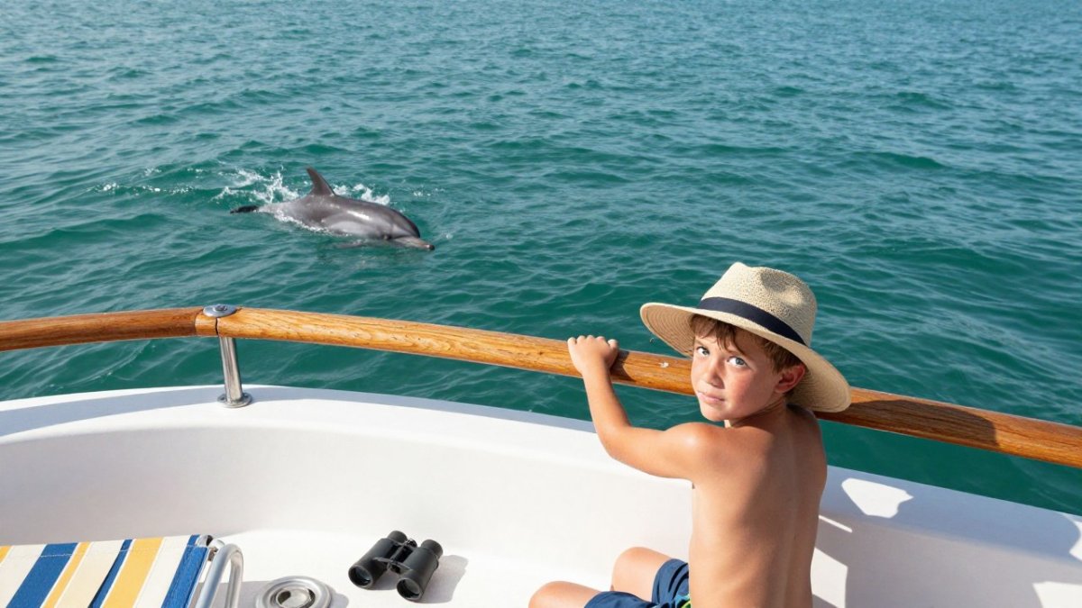
Set the passage pattern to suit sensitive guests. Shorter legs, daytime sailing in calmer conditions and frequent stops all reduce the chance of feeling unwell. Keep guests on deck in the fresh air, and give them a clear view of the horizon. Staying below in a cabin, reading or looking at screens, tends to make symptoms worse.
Ask your doctor about seasickness medication before the trip, and take it early, following the directions on the label. Eat light, regular meals and avoid heavy food or alcohol before a passage.
Planning Your First Multi-Day Charter With Follow That Dream Sailing
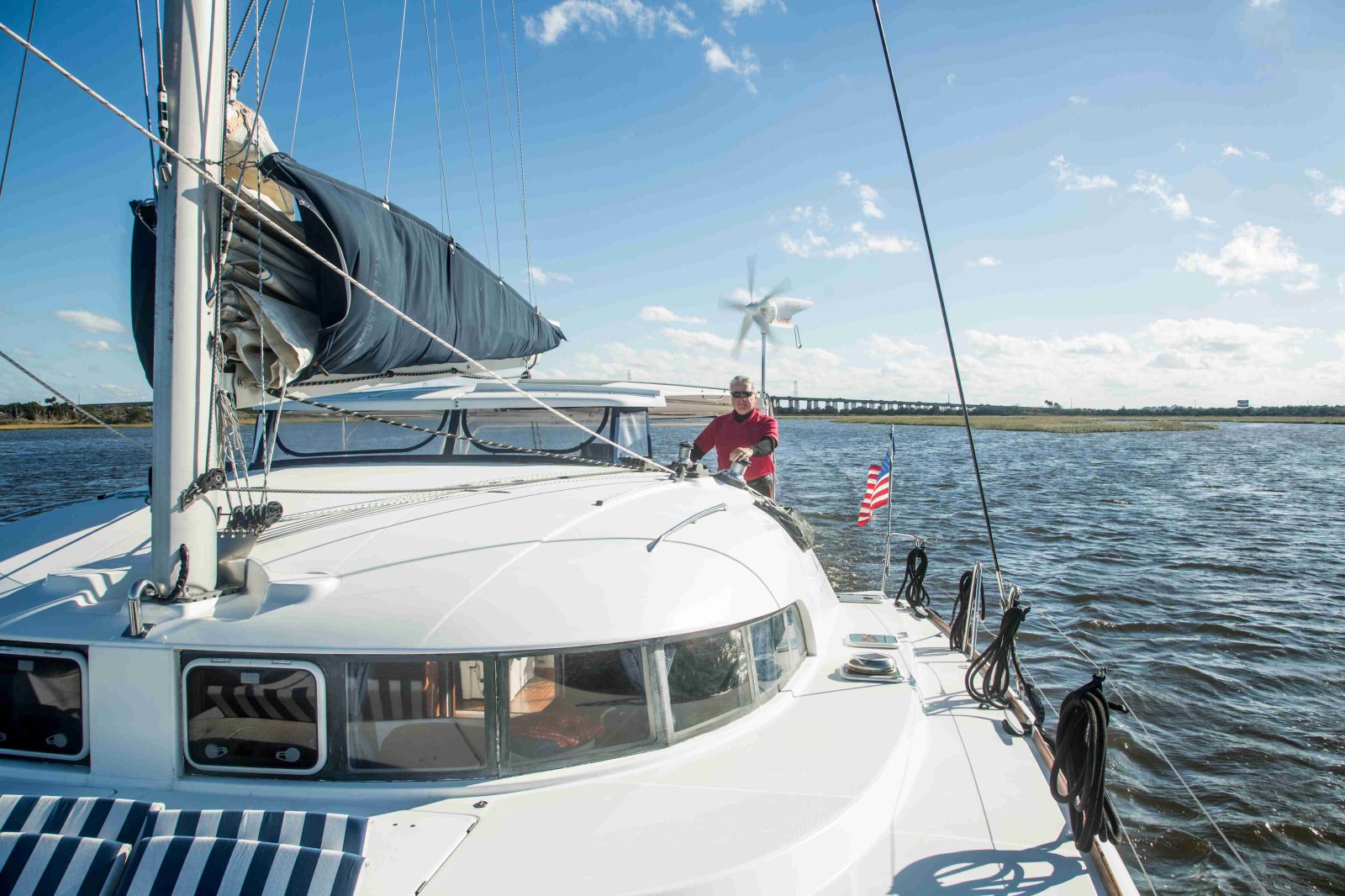
If you are new to multi-day sailing, a charter lets you enjoy the trip without managing every planning decision yourself. At Follow That Dream Sailing, we operate a 41-foot Lagoon 410 S2 sailing catamaran out of Fernandina Beach and Amelia Island, with an experienced captain and crew aboard.
Our overnight option runs 24 hours on the boat, starting whenever you wish, and our 3-day and 4-day cruises extend the trip to St. Simons Island and St. Augustine. We normally carry four guests on the 3-day cruise and four on the 4-day cruise, with flexibility for additional guests. Review the cruise pricing for current rates, and check the 24-hour overnight charter for a shorter trip.
Compare the trip lengths against the planning steps above: distance, weather windows and the number of guests. For a first trip, the 3-day cruise to St. Simons Island gives you a manageable pace, and the 4-day cruise to St. Augustine suits guests who want more time on the water. If you are concerned about motion, read whether catamaran cruises are stable for seasickness before you book.
Frequently Asked Questions
How far can you sail in a day?
The right daily distance depends on your crew's experience, wind conditions and how much time you want for anchorages and sightseeing. Build in a buffer for light wind and motoring, since boat speed varies with sea state and the forecast. Starting with shorter passages gives new crew time to adjust, and you can extend daily mileage once everyone is comfortable with the boat's motion.
What should you pack for a multi-day sailing trip?
Pack layered clothing that handles wind and spray, non-marking deck shoes, a foul-weather jacket, sunscreen, a hat, a headlamp and a small dry bag for electronics and documents. Bring enough medication for every day plus a reserve, and include any seasickness remedies your doctor recommends. A multi-day sailing trip checklist should cover personal gear, safety equipment and spares, and it is worth reviewing it with your skipper before departure.
How much food and water should you bring on a multi-day sailing trip?
Plan food and water for every person for every day of the trip, plus extra for delays caused by weather or unexpected stops. Plan a generous amount of water per person per day for drinking and cooking, then add more for washing and hot climates. Choose meals that need little cooking at sea, and store food in sealed containers so that motion and humidity do not spoil it.
How do you check weather before and during a sailing trip?
Check the marine forecast from the National Weather Service the evening before departure and again each morning, paying attention to wind speed, wind direction, wave height and any small craft advisories. Set go/no-go thresholds in advance, such as a maximum sustained wind speed or wave height, and stick to them even when the trip is already underway. Keep a radio or satellite device on board so you can receive updates when you are out of cell range.
Where should you anchor or dock overnight?
Choose overnight stops based on shelter from the forecast wind direction, water depth, holding ground and access to fuel, water and services. Marinas offer reliable power and security but can cost more and fill up on weekends, while anchorages provide quiet and free stays when conditions are calm. Check charts and local guides for hazards, and always confirm your next stop is reachable before you leave the current one.
Comments